|
| |||||
Beyerle Park
From Brooklyn Centre Wiki
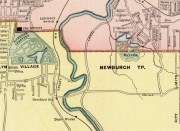
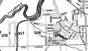
Beyerle's Park was a small place of amusement for late 19th century Clevelanders. It was located in a valley in the Washington Park area (off Independence Street near Fleet Avenue). By 1898, the park was called Forest City Park.
Parts of the park were still there in the early 1960's, but then the whole valley was filled in, covering over a part of Cleveland's past.
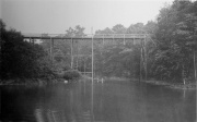
The image to the right shows the lake and footbridge.
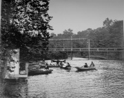
In the next image ladies, in the fashions of the day, are boating upon the lake.


